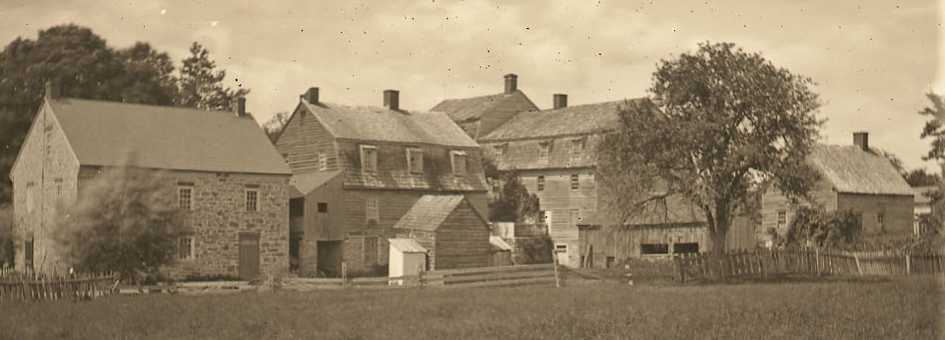
This building is the only structure from eighteenth-century Christiansbrunn that exists in the twenty-first century. It does not appear in the 1755/56 Garrison drawings and does not seem to appear in any list of buildings at Christiansbrunn through 1766. It was built between the Boys' House and the Sawmill.
Its name--the Pfleger's House--is taken from a 1862 drawing of Christiansbrunn by Rufus Grider (1817-1900). A "pfleger" was a helper who served as the spiritual leader of a choir, in this case the Single Brethren's choir. The structure's use in the eighteenth century and the date of its construction remain unknown. A copy of an 1860 plan of the settlement states that it had been a "Stone Distillery" and by the 1860s was "owned by Newmeyer" and used as a dwelling.
The image below locates the Pfleger's House on a 1795 map of the Christiansbrunn community.